Moi-Sokndal-Sandnes
Going south from Stavanger and Sandnes, one may visit the scenic coastline of the Rogaland region. The present bike route goes from Moi railway station to Sandnes, with overnight stays in Sogndalsstrand and Egersund near the coast. Both Moi and Sandnes can be reached by a direct train from Oslo and Kristiansand.
Accomodations need to be reserved. In Sandnes, bicycles can be rented from Paahjul bicycle workshop, Langgata 2A.
The route can only be recommended from May to October, to avoid the risk of ice on the roads. To be safe biking downhill, good and durable brakes are needed. You need to bring your own food for lunch and have clothes for all kinds of weather.
Day 1. Moi to Sogndalstrand (34 km, map link)
From the railway station at Moi, bike north along Stasjonsveien, and take the first left turn along Skålandsveien (Fv4242) over the bridge. Continue south along Fv4242, with a beautiful view over the lake Lundevannet.
After 4 km, turn right and uphill along Lilandsveien (still Fv4242) with a spectacular view, winding into the forest towards the top of the hill.
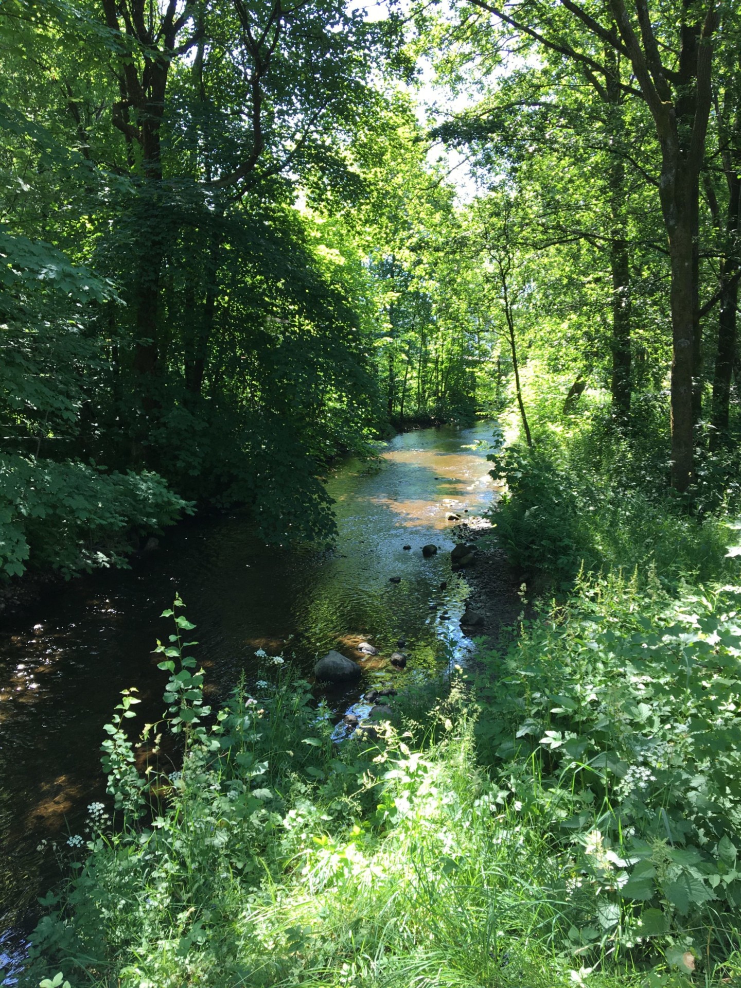
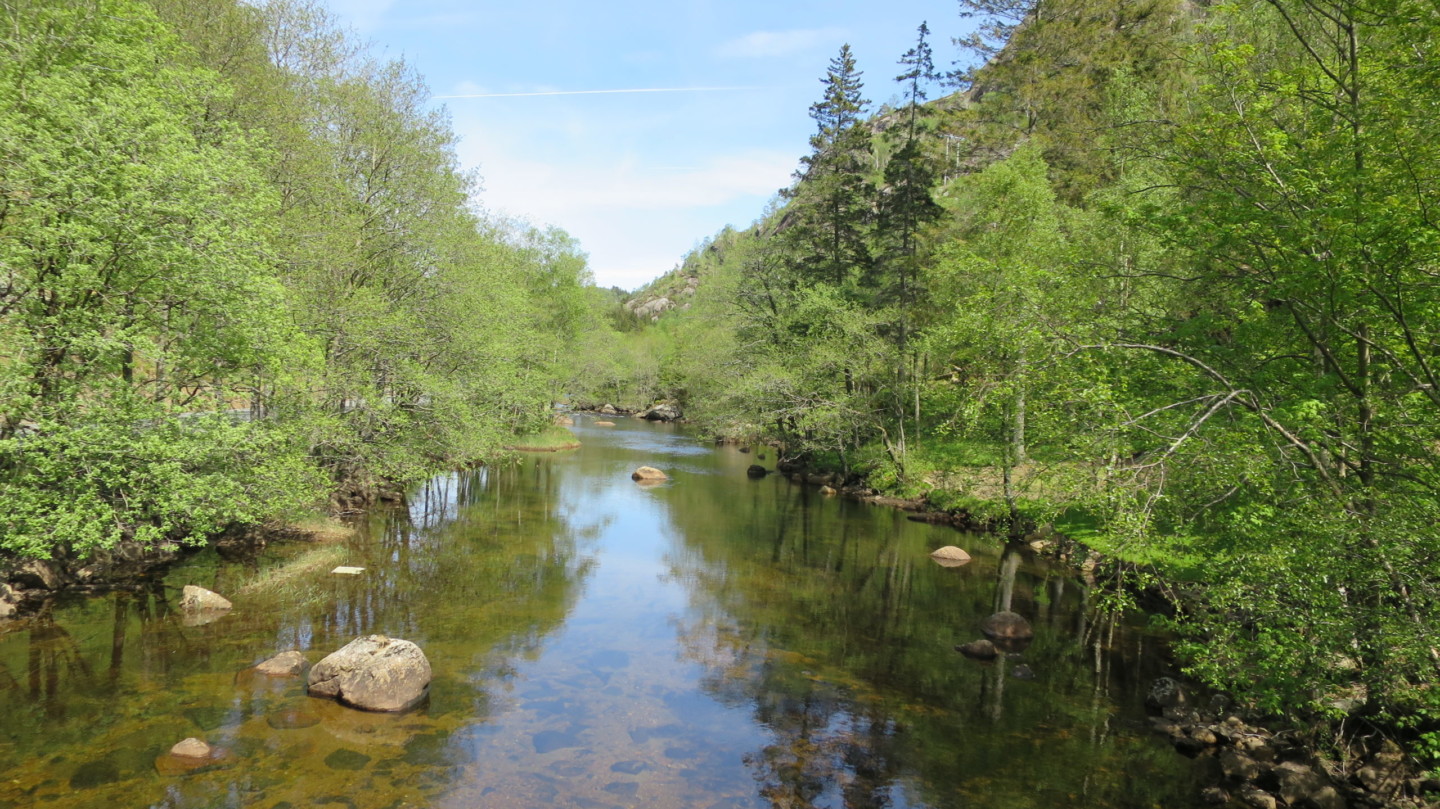
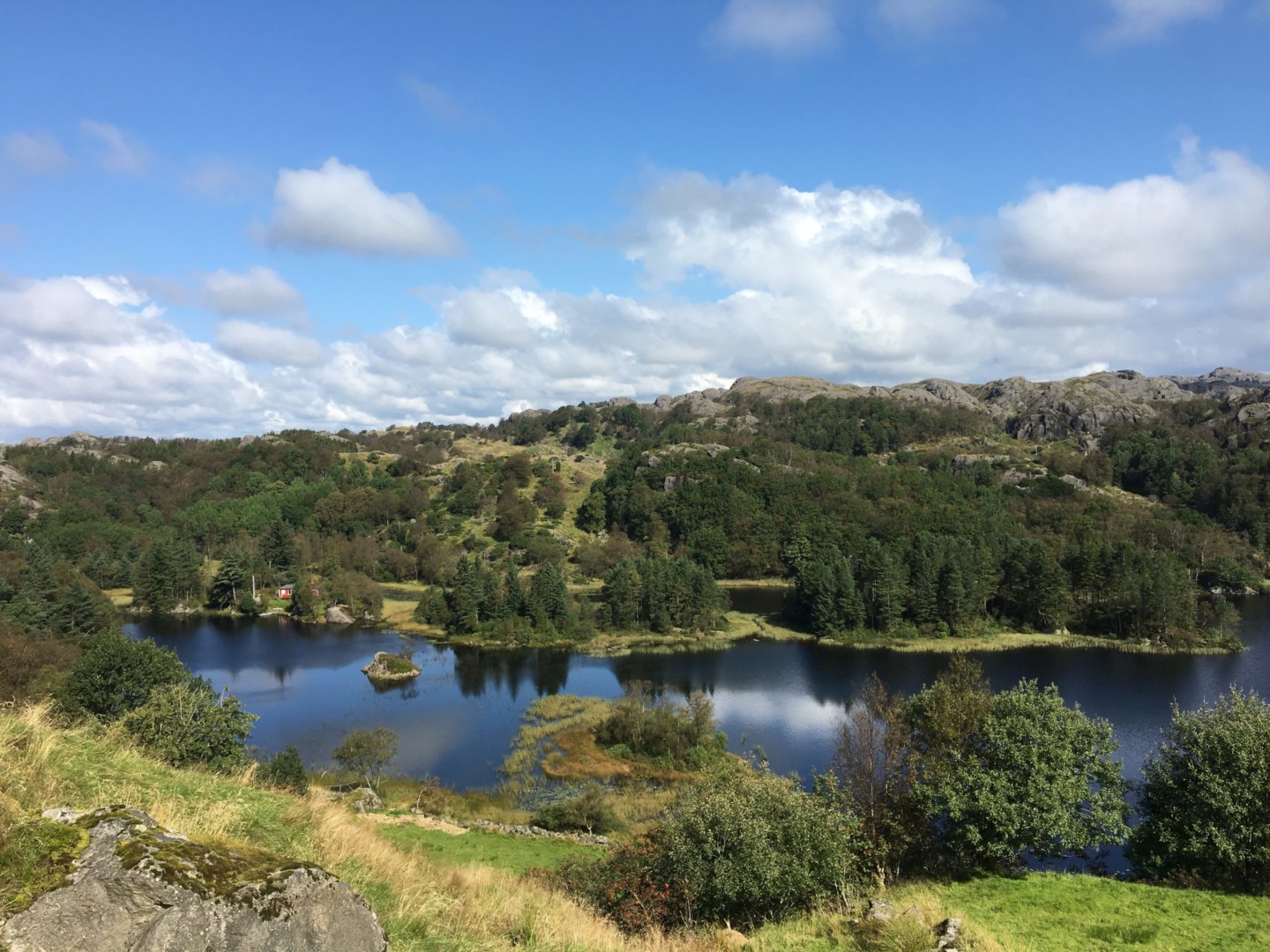
After ca. 5 km uphill, Fv4242 flats out and turns gradually towards west, going down to the beautiful valley along Mydlandsvatnet. The view is even more scenic going further down to the next valley along Myssavatnet.
From Myssa, Fv4242 continues south along the river Ålgårdselva, downhill towards Hauge.
Just before Fv4242 ends, turn right (west) on Malmbanen, which is a nicely paved bike path along a previous railway. Malmbanen goes along the main road (Fv44) for a few hundred metres, crosses Fv44 at a gasoline station (marked by bikepath signposts) and continues along the river Sokno to Årstadveien. Here turn left across Sokno, and continue southwest through a beautiful rural landscape along Årstadveien, Løvåsveien and Kjellandsveien to Strandaveien (Fv4248). There turn left and then right along Brubakken, crossing Sokno once more at Sogndalstrand.
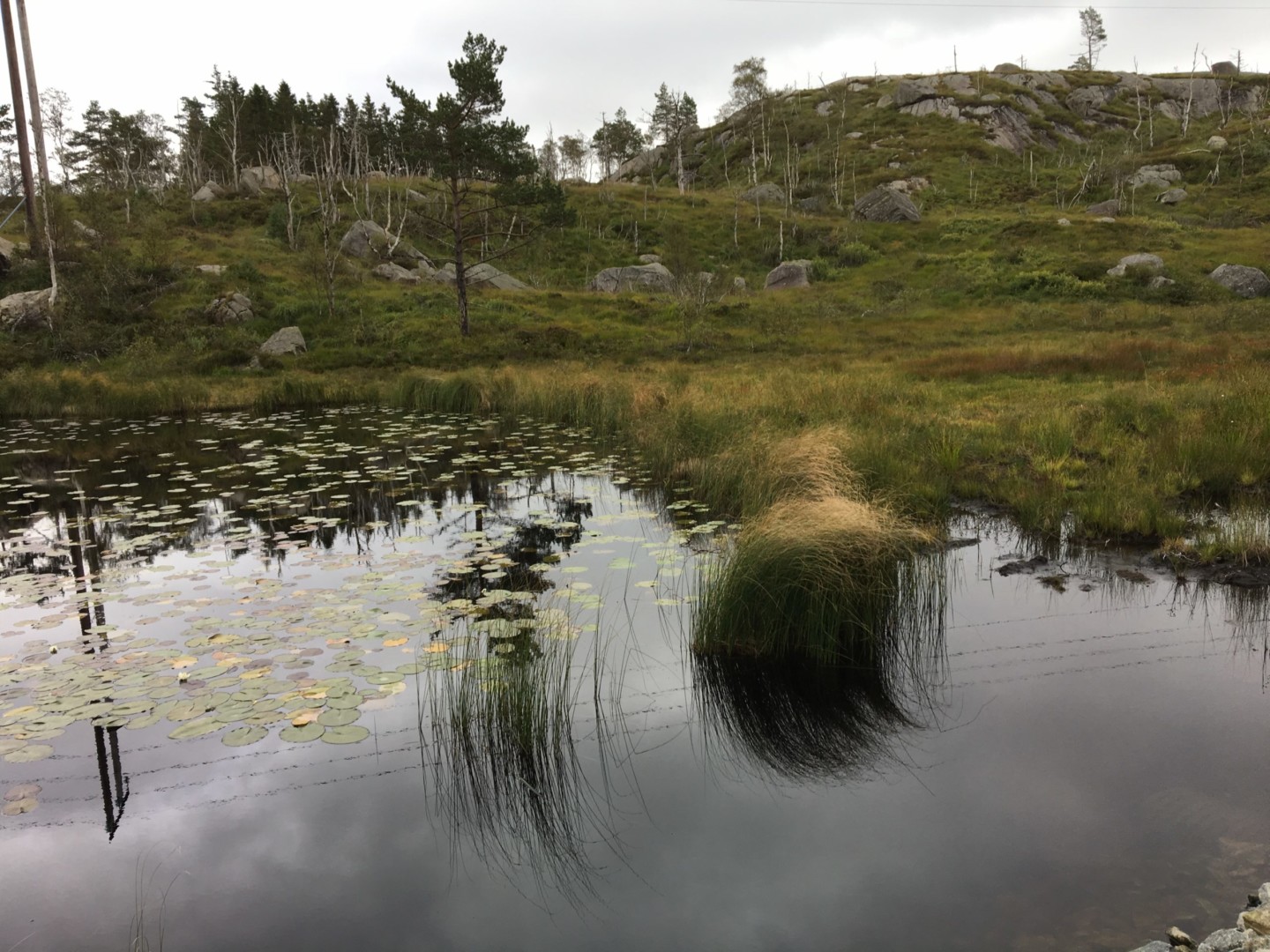
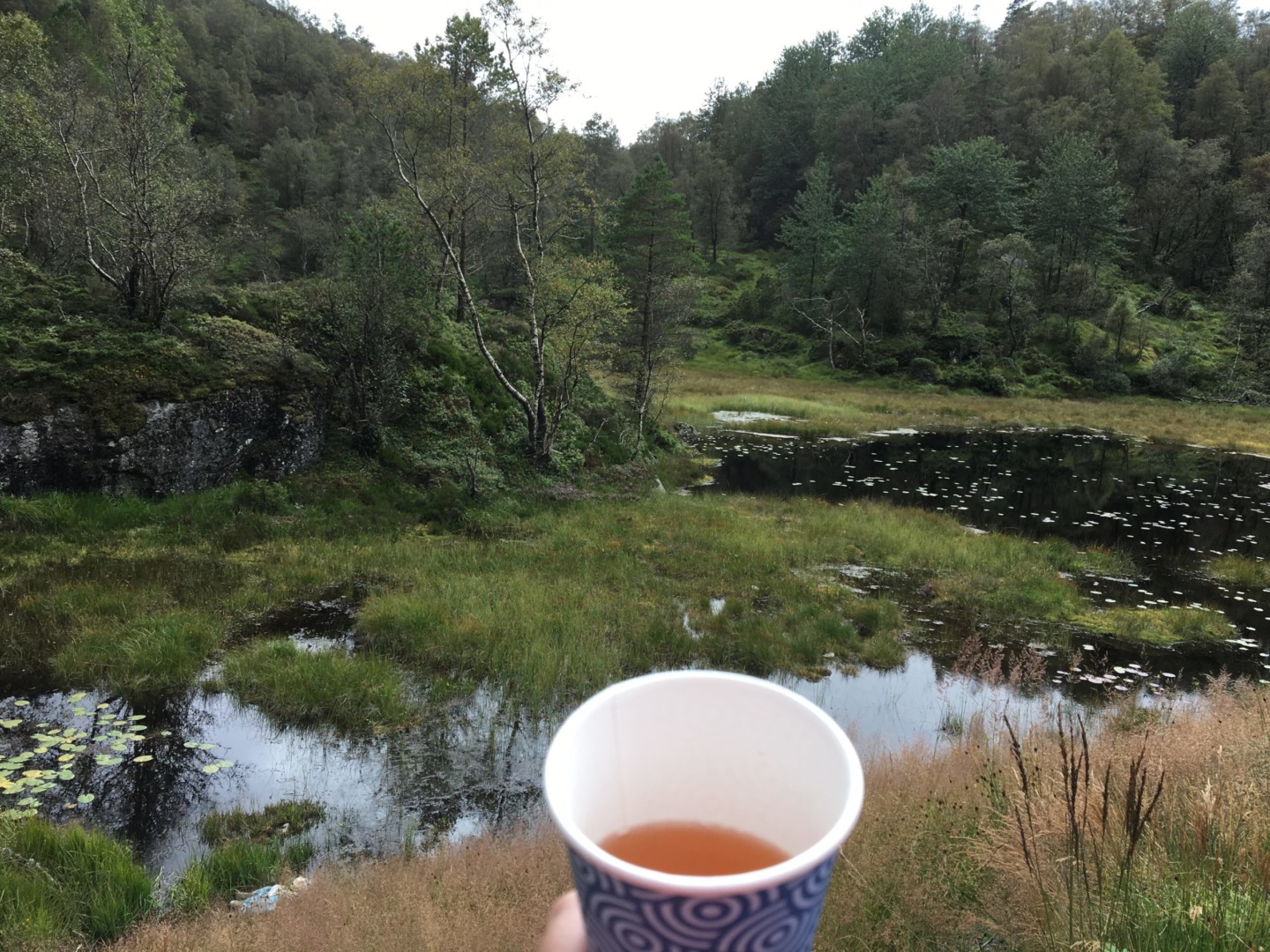
Sogndalstrand Kulturhotell can be recommended for dinner and overnight stay. Staying more than one night may allow local walks and bike trips, for example along Malmbanen to Ruggesteinen and Blåfjell Mines.
Day 2. Sogndalstrand to Egersund (32 km, map link)
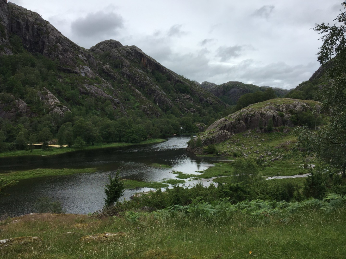
From Sogndalstrand, bike north along Strandgaten and continue left along Strandaveien (Fv4248). After 1 km, turn left along Gamle Strandaveien and left again (west) along Fv4250, over the hill and down to Rekefjord, with a magnificent view to the seaside.
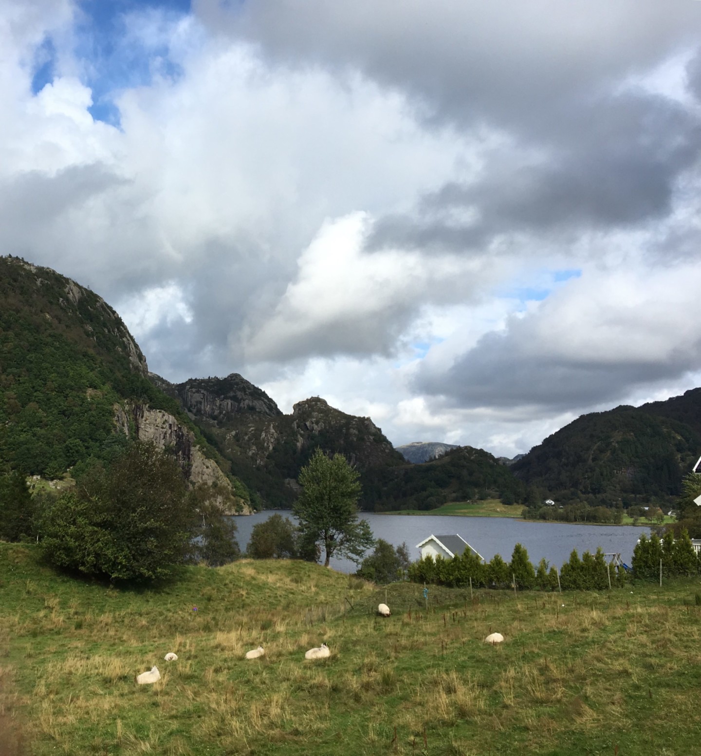
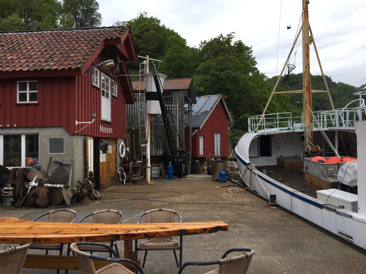
At the crossing with Rekefjordveien, turn left across the bridge towards Birkeland (Fv4246) through a beautiful landscape. At Nesvåg (ca. 9 km from Sogndalstrand) a signpost to the left indicates ‘Sjø- og motor museum‘, which is a very nice place to make a stop.
After Nesvåg, Fv4246 goes away from the sea uphill towards Birkeland. Passing Birkeland, the road becomes more narrow and hilly, winding through forest and fields down towards the main road (Fv44, Sokndalsveien). Here turn left (west) through a scenic landscape towards Egersund. There are several opportunities for nice detours towards the sea on the left side of Fv44.
Entering Egersund, the suggested route turns left from Fv44 along Gamle Sokndalsveien, where there are less cars. Continue north along Skarpabrådet, Aarstadgaten and Johan Feyers gate to Grand Hotel Egersund, which can be recommended for dinner and overnight stay. Staying more than one night in Egersund is a good idea. It is a charming town, and local bike trips may be made to Eigerøy and to the water basin area east of Egersund.
Day 3. Egersund to Sandnes (72 km, map link)
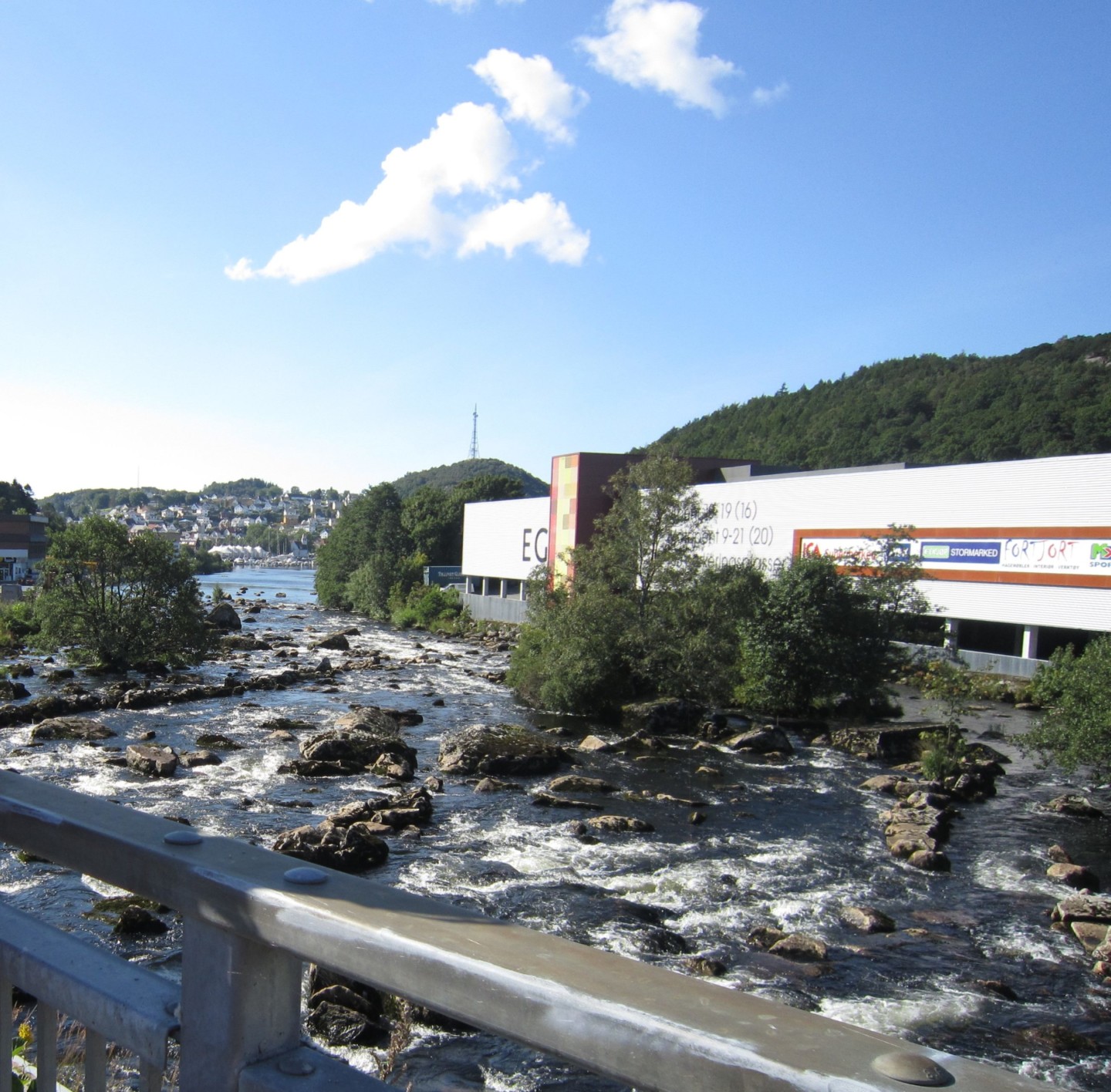
The suggested route goes past the railway station in Egersund on the bike path to the left of Eigerøyveien, turning right (north) on Gamle Jærbanen to a very nice and hilly bike path along the old railroad. A stop on a hill top to admire the view towards Eigerøy must be made.
The bike path ends at Hellvik railway station. Continue north on Stasjonsveien, and turn left along Fv44 (Jærveien). Here the suggested route takes the first turn left to Åsatua and Sletteveien, going along Hellviksveien and Trosavigveien (Fv4302) back to Fv44 which is followed to Sirevåg. Turn left along Vågen (Fv4326) past Sirevåg railway station, and turn right along Sannarvågen at the Joker shop. Sannarvågen ends as a dirt road along the left side of the railway, continuing as a narrow bike path through the forest to a gravel road along the shore.
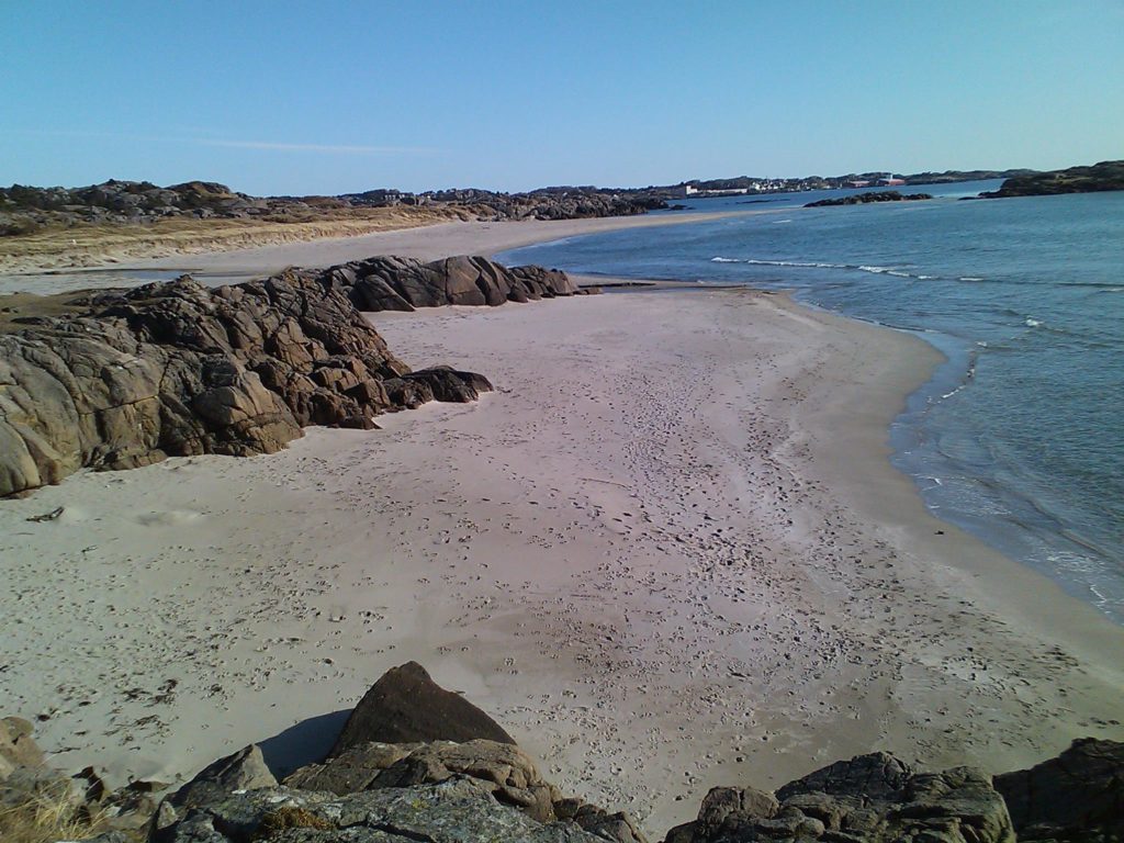
The gravel road crosses the river Ogna, and leads to a big camping site (Ogna Camping) with a wonderful view towards the open sea. Continue through Ogna Camping to a narrow bike path on the left side of the main road (Fv44), passing under Fv44 to Gamle Riksvegen on the right side of Fv44. Turn right along Bru, which bends left just before Brusand railway station. Turn left on Fuglestadveien, and immediately right along Stokkelandsveien.
Stokkelandsveien goes towards northwest through a nice rural landscape. After ca. 1.5 km, turn right below the railway, and continue north through Stokkelandsmarka following the bike path signposts. The bike path continues on the right (northern) side of Haugstadveien to Vigrestad, through a small tunnel to Rundvegen (Fv4332) which goes uphill to Langgata (Fv4334). The route turns left through the centre of Vigrestad, and right to a nice bike path along Fv4338 (Kyrkjevegen) to Varhaug.
At Varhaug, turn right along Buevegen (Fv504) and left at the first roundabout to Opstadvegen (Fv4360) towards Nærbø and Kvernaland. Passing Nærbø, turn right at the Circle K gasoline station along Gudmestadvegen (Fv4376) going northeast to Garborg, which is the birthplace of the Norwegian poet Arne Garborg. Here Fv4376 bends left and changes its name to Garborgvegen (Fv505). Near Bryne, the suggested route turns right along Kvernelandsvegen (still Fv505) going north past Njåskogen and Frøylandsvannet.
At Orstad north of Frøylandsvannet, turn right at the roundabout to stay on Fv505, going through Kvernaland past Foss-Eikeland towards Ganddal and Sandnes. At Ganddal, turn right from Fv505 along Elveosen just after crossing the railway, to find a nice bike path to the left just after crossing the river (Storåna). The path goes through the Sandved Park, ending on Gjesdalsgata near Sandved railway station. Continue north along the railway to find Sandnes station, which is the end of the route.