Sandnes-Sirdal-Setesdal-Telemark
The present route goes to beautiful valley and mountain areas. You may need to bring your own food for lunch and have clothes for all types of weather.
The route can only be recommended from June to September, to avoid ice and snow on the roads. To be safe biking downhill, good and durable brakes are needed.
Accomodations need to be reserved well in advance. Bicycles can be rented from Paahjul bicycle workshop, Langgata 2A, Sandnes.
Day 1. Sandnes to Byrkjedal (49 km, map link)
Start: Sandnes railway station. The suggested route goes south along St. Olavs Gate, and turns southeast on Gjesdalsveien under a railway bridge. Continue up Gjesdalsbakken and Austråttbakken, to find a bike path on the left side of the road on the top of the hill. Turn left down Prestegårdsbakken, turn right along Kyrkjeveien and left again to find a beautiful bike path going southeast along a small river. The bike path continues on the left side of the main road (E39) along Gamle Ålgårdsveien for ca. 3 km, and then turns left on Osliveien going along a lake (Bråsteinsvatnet) back towards E39, crossing under and continuing on the right (west) side of E39 to Figgjo.
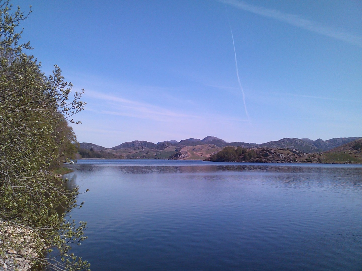
Approaching Figgjo, take the first road to the right (Åslandsbakken) to cross the Figgjo river, and continue along the southwest side of the river on a very nice bike path to Ålgård. At the centre of Ålgård, a long footbridge crosses over to a petrol station on the northeast side of the river, and a bike path on the right (south) side of E39 takes you along a lake (Edlandsvatnet) until you see another lake (Limavatnet) north of E39. Here turn left to Hunnedalsveien (Fv45), going northeast along the left side of Limavatnet.
After ca. 10 km on Fv45, cyclists should take a short detour past a tunnel. Shortly after, Gjestal Store & Tavern can be recommended for a lunch stop.
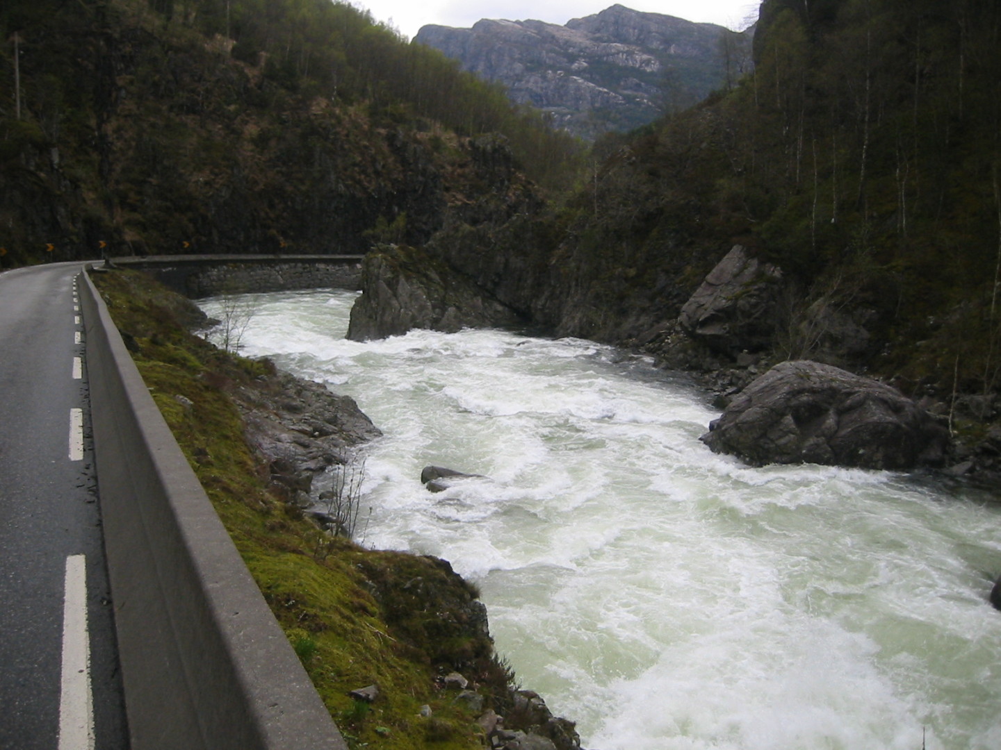
From Gjestal Tavern, a bike path crosses under Fv45 going downhill through Oltedal, taking you back to Fv45 after ca. 3 km (or you can bike downhill on Fv45 from the tavern). Continuing east along Fv45 there is another tunnel after ca. 6 km going downhill to Dirdal, where cyclists should take the old road to the left of the tunnel. At Dirdal, nice roads with less traffic (Kroveien and Giljagarden) are found to the left of Fv45, returning to Fv45 over a bridge after ca. 7 km.
Cyclists can bike through the next two tunnels before Byrkjedal. Byrkjedalstunet can be recommended for dinner and overnight stay.
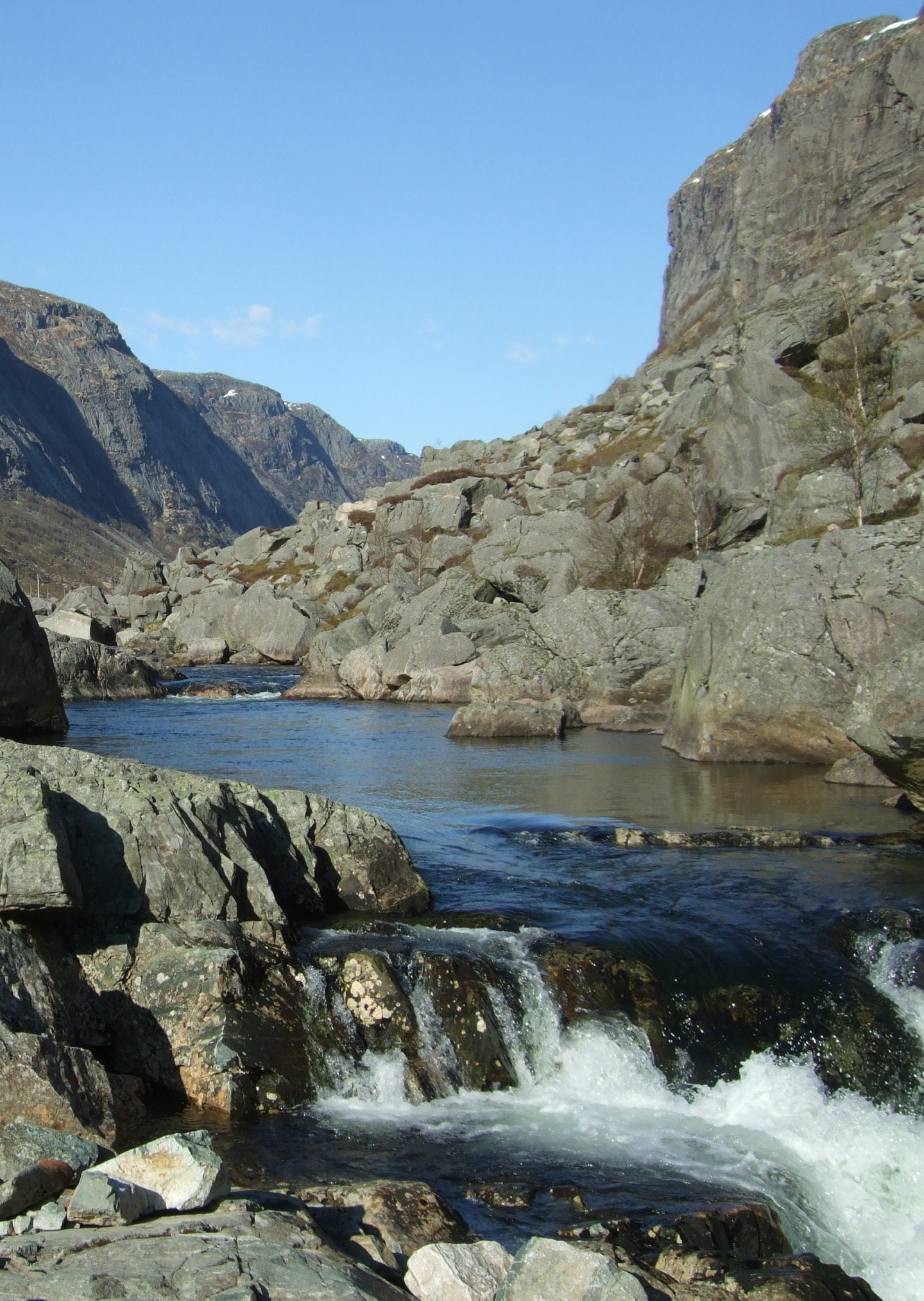
Staying more than one night to make local bike trips may be a good idea. Both Månafossen and Gloppedalsura are close enough for a daytrip. Passing Gloppedalsura and Bjerkreim, you may bike to Egersund and stay overnight there.
Day 2. Byrkjedal to Fidjeland (48 km, map link)
It is almost 40 km from Byrkjedal to the nearest lunch cafés along Fv45, so bringing your own food may be necessary. The suggested route continues northeast through Hunnedalen up to Sinnes, Kvæven and Fidjeland in Sirdal, where Sirdal Hotel may be recommended for dinner and overnight stay (turn right from Fv45 up Jogledalsveien).
Day 3. Fidjeland to Rysstad (53 km, map link)
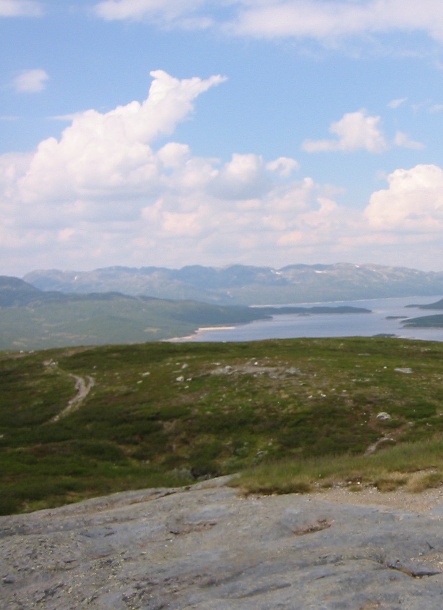
There are no cafés along the road, so remember to bring your own food. Go north along Fv45 for ca. 8 km to Suleskard, and turn right (east) on Suleskarvegen which takes you up to 1050 m above sea level. The fresh air and the mountain view is a very nice experience. Håheller Rasteplass may be suitable for a lunch break.
After ca. 30 km, the road goes down towards Brokke in Setesdalen. Here turn right (south) along road Rv9 to Sølvgarden Hotel at Rysstad, which may be recommended for dinner and overnight stay.
Day 4. Rysstad to Bykle (48 km, map link)
The suggested route goes north along the river Otra and Setesdalsvegen (Rv9). The best option for a lunch café appears to be at Valle after 16 km, where Nordibø Landhandel may be the best choice. If you need to eat between Valle and Bykle, you will have to bring your own food.
Shortly after Valle, a very nice place to swim in a small river is found at Honnevje Badeplass close to Rv9. At the following crossing, the suggested route turns left from Rv9 along Daleveien, and returns to Rv9 6 km later at Røysland going across Otra (you may choose to stay on Rv9 if the traffic is acceptable and you prefer the best paved road).
13 km from Røysland, the suggested route turns right from Rv9 along Trydalsvegen around a small lake (Trydalstjønni), continuing across Rv9 on Movegen and returning to Rv9 after a tunnel. Shortly after, a new detour on an old road is made around the next tunnel on Rv9.
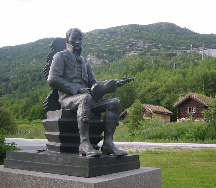
Rv9 continues uphill towards Bykle, where the wonderful landscape view inspired Norwegian painters 200 years ago. Bykle Hotel can be recommended for dinner and overnight stay.
Day 5. Bykle to Haukeli (61 km, map link)
The suggested route follows Rv9 from Bykle to Haukeli, with a detour to the dam of Vatndalsvatnet. 12 km from Bykle, turn left from Rv9 on Løyningsvegen, and left again at Åsheim along Vatnedalsvegen to the dam, which is one of the highest in Western Europe with a nice view from the top. On the way back turn left from Vatnedalsvegen to Løyningsveien, continuing on Tverrheimvegen and Ørnefjellvegen to return to Rv9.
A café for a lunch stop can be found at Hovden (for example Furumo). A summer café may sometimes be open at Bjåen.
The last part of the route goes steeply down from ca. 900 m to Haukeli at about 550 m above sea level. Haukeli Hotel may be recommended for dinner and overnight stay.
Day 6. Haukeligrend to Rauland (43 km, map link)
For lunch, you need to bring your own food and make a stop along the road. The suggested route goes east on the bike path along the road E134 (Haukeliveien), turning left along Storegutvegen (Fv362) and left again (north) along Arabygdvegen (still Fv362) uphill from Edland to the lake Venemodammen, where the water is used for generation of hydroelectric power. Fv362 continues east up to 900 m above sea level, going down again to 700 m along the northern side of the big lake Totak.
Fv362 continues along Totak all the way to Rauland, where Austbø Hotel may be recommended for dinner and overnight stay.
To stay more than one night in Rauland is strongly recommended, to visit the mountain area north of Rauland and the beautiful bike paths along the lake Møsvatn.
Day 7. Rauland to Seljord (57 km, map link)
You need to bring your own food for lunch. The suggested route goes northeast along Fv37, turning southeast on Øyfjellvegen along the north side of the lake Lognvikvatn. At the eastern end of Lognvikvatn, Fv37 bends south past Rorgevatn to Dyrdalsvatnet. Here the route turns left (east) at Øyfjell Sag og Høvleri along the road Drivarbekkdalen, which continues southeast on Åmotsdalsvegen and Flatdalsvegen downhill along the river Flatdøla all the way to Seljord.
Both Seljord Hotel and Nutheim Gjestgiveri can be recommended for dinner and overnight stay.
Day 8. Seljord to Lunde (50 km, map link)
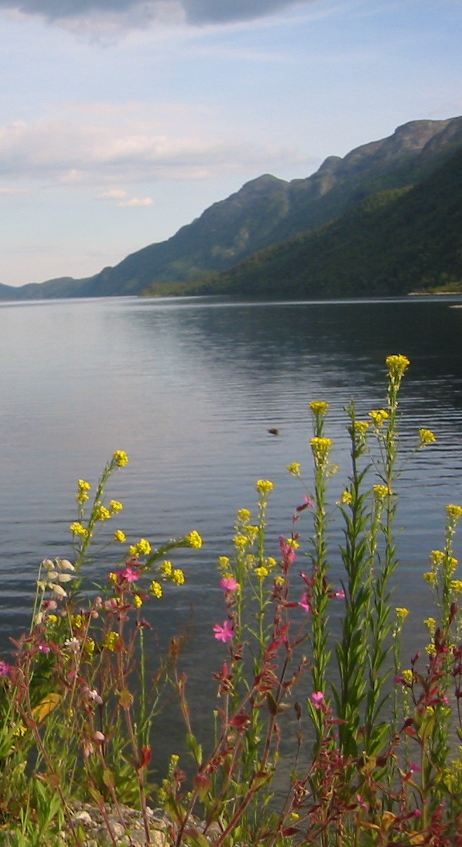
From Seljord, the suggested route goes west along Brøløsvegen, and turns left (south) along Nyveg to reach the road Mosasida along the southern side of the lake Seljordvatnet, which is famous for its sea monster (just like Loch Ness in Scotland).
After ca. 10 km at Garvik, the route turns to the right uphill on the road Heivegen, and turns left again on the road Trollebotn, continuing southeast along lake Dalsvatn towards Kilen at lake Flåvatn. The camping site at Kilen has a lunch café, and is a nice place to swim.
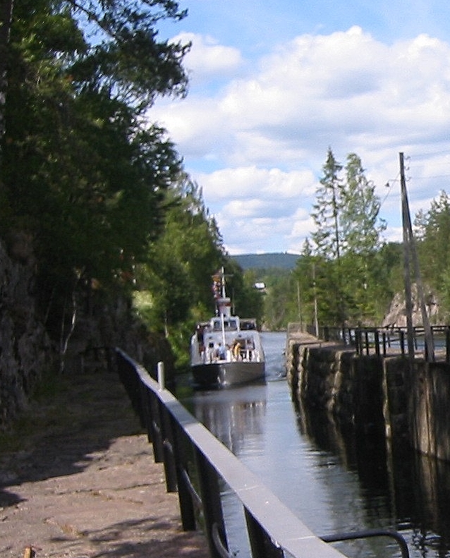
From Kilen, bike southeast on Røyrhellevegen, continuing on Omnesvegen and Strengenvegen along the northern side of Flåvatn. Strengenvegen crosses the river Straumen, and continues along the west side of the Telemark Canal past the Hogga, Kjeldal and Lunde locks.
The suggested route ends at Lunde railway station, where the train can be taken back to Sandnes (or to Oslo). Lunde Vandrerhjem can be recommended if an overnight stay is needed.