Via Verde tour from Alicante
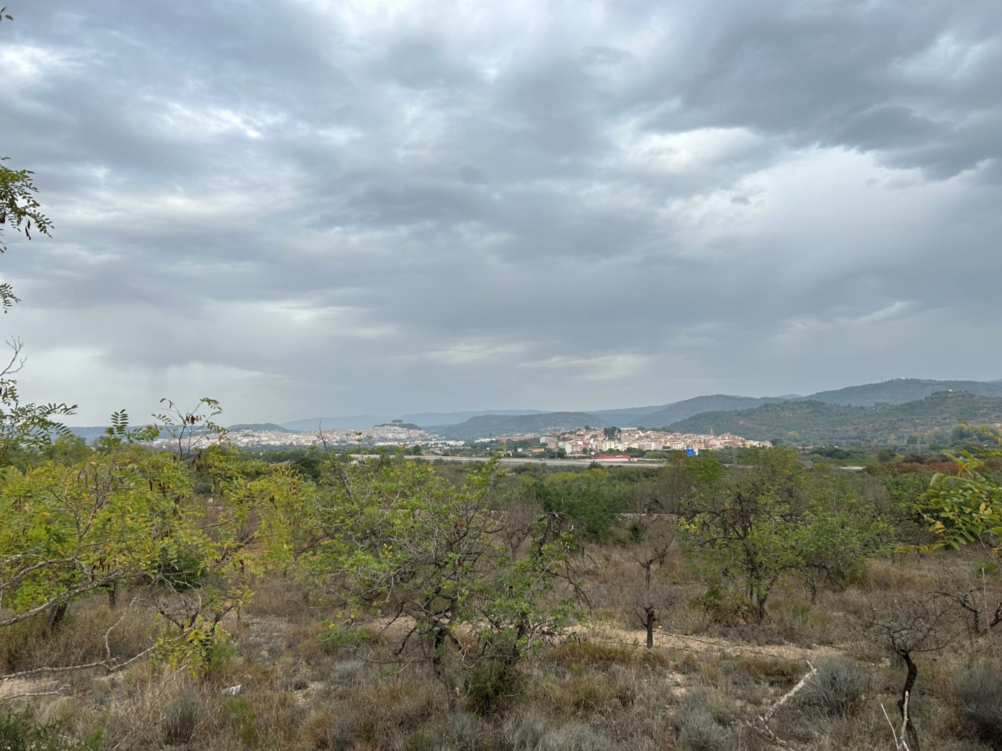
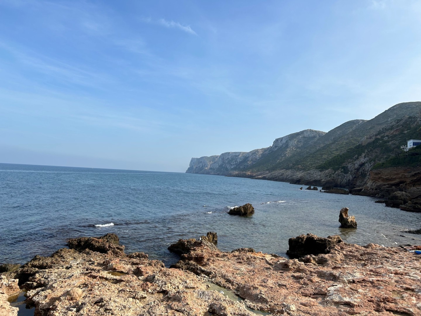
The region around Alicante and Valencia has a warm and pleasant climate, and many good cycling options and nice bike paths. You will see spectacular cliffs and hillsides, wonderful beaches and rural areas with beautiful olive and fruit trees.
From Alicante to Gandia, the long-distance EuroVelo 8 cycling route has been placed inland on magnificent Via Verdes (old railroads converted to bike paths). From Gandia, the route continues through rice fields and a beautiful natural park to the spectacular city of Valencia.
There are good options for short-term bike rental in Alicante. Hiring mountain bikes for a longer tour, we recommend that a reservation is made well in advance. We have got excellent service from the Blue Bike shop in Alicante.
Many nice hotels and restaurants are found in Alicante. Casa Alberola can be recommended for dinner and overnight stay.
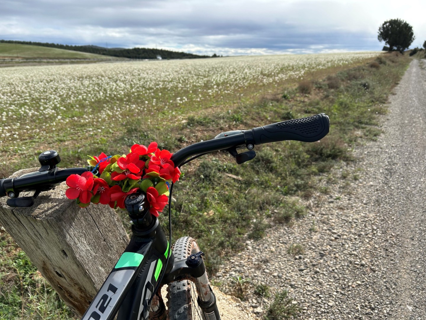
Day 1. Alicante to Castalla (37 km, map link)
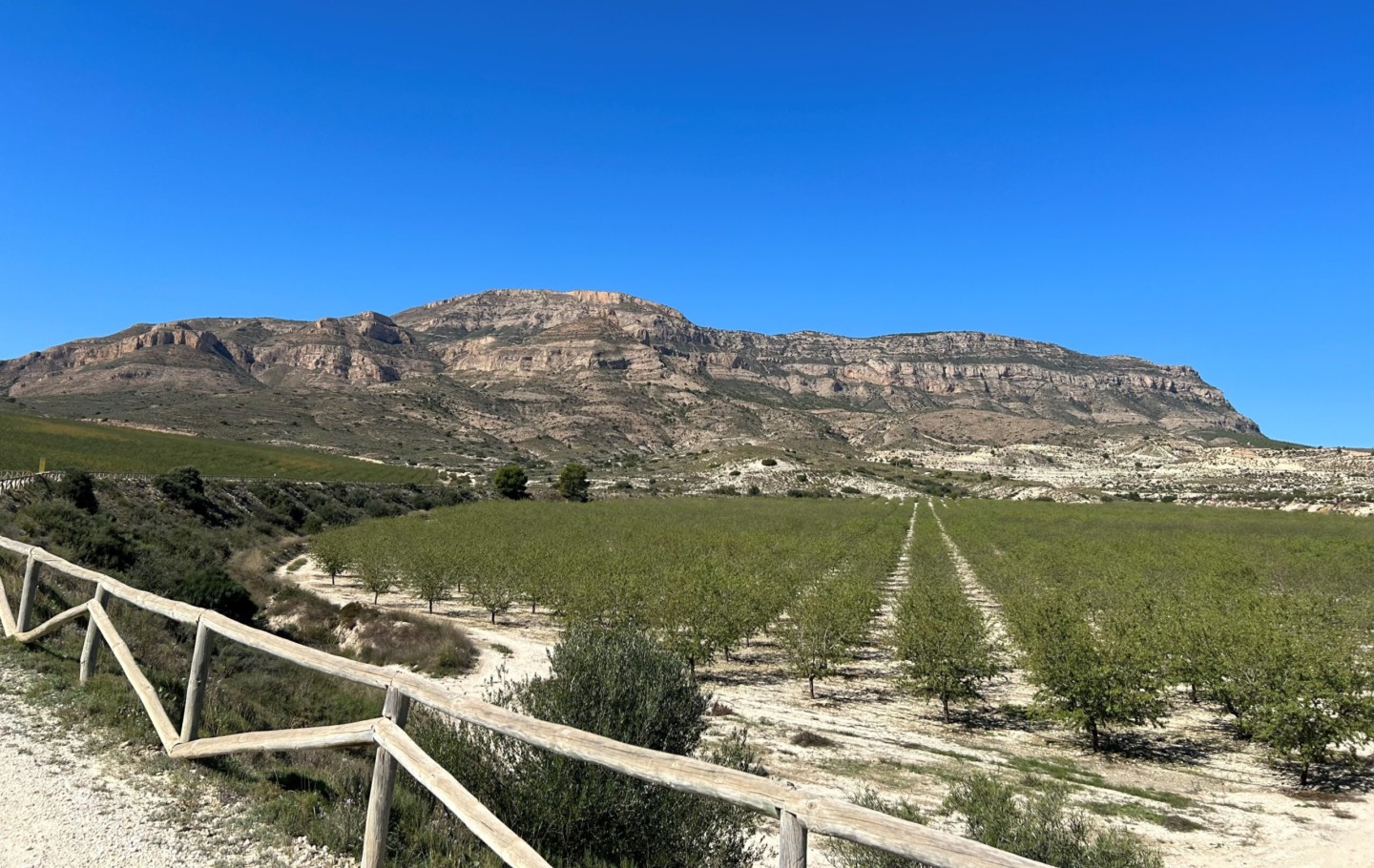
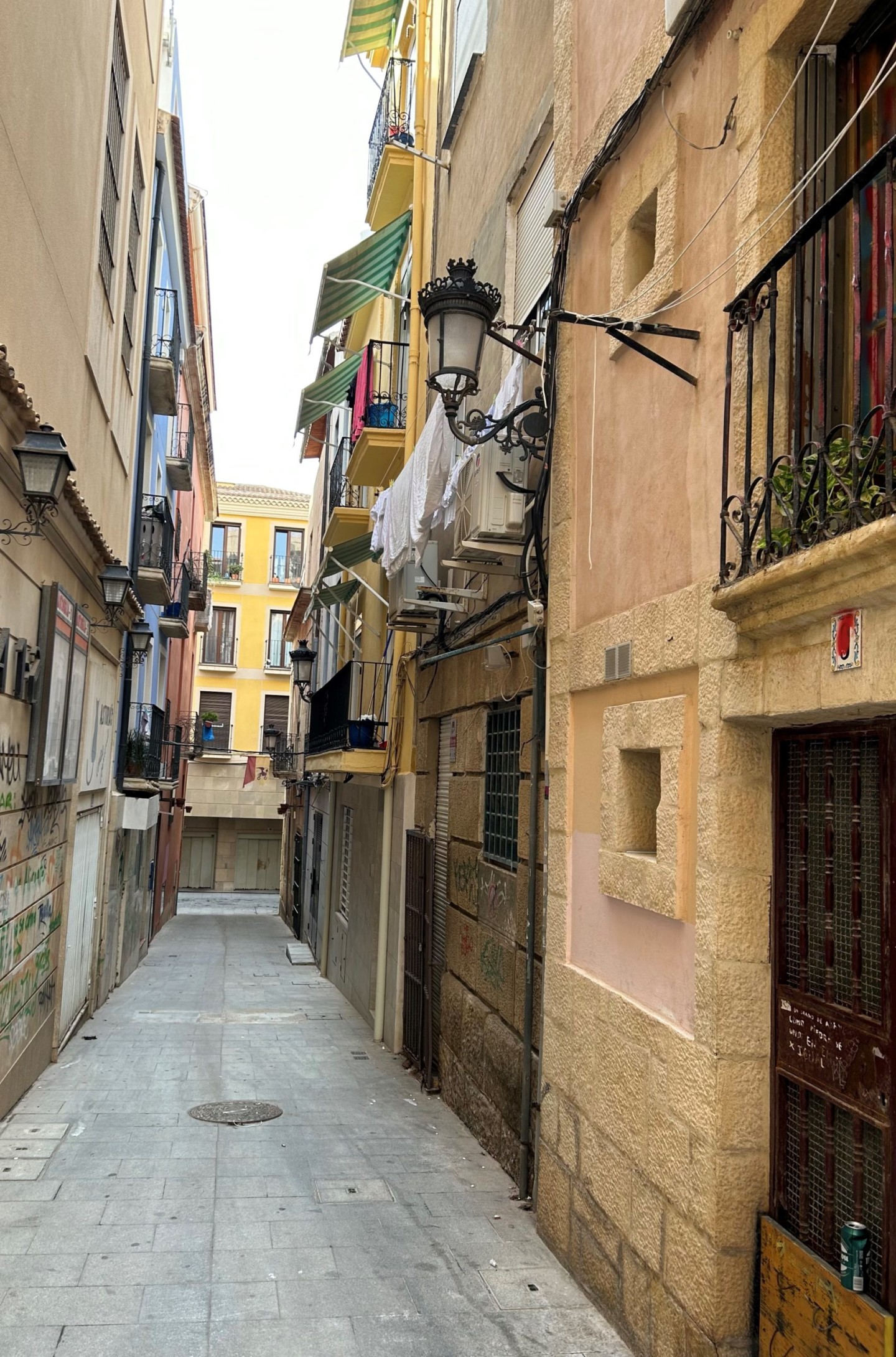
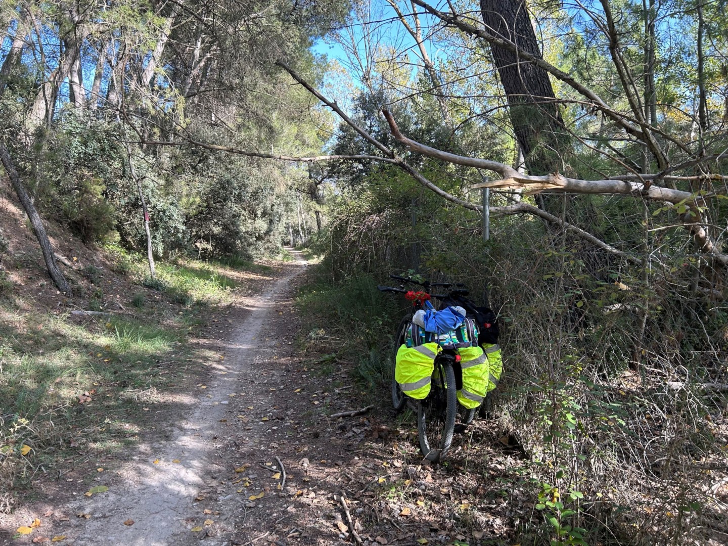
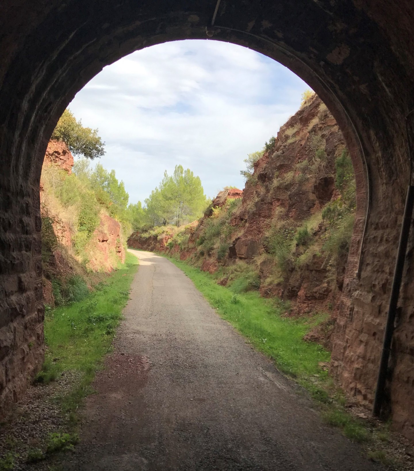
The starting point of Via Verde del Maigmo is Estacion FFCC de Agost, which can be reached by public transport, taxi or bike from Alicante. The Via Verde is a very clearly marked gravel path through a beautiful rural landscape, in parts lined with fruit and olive trees. The path rises steadily, with well maintained tunnels and bridges, ending at Tibi where Meson Maigmo is conveniently placed for a lunch stop.
Then continue to Castalla along road CV-815 (found at the crossing with CV-827). CV-815 can be followed all the way to Castalla (or a Via Verde path along motorway A-7 may be chosen for some kilometres; map link).
In Castalla, Hospedium Don Jose may be recommended for dinner and overnight stay.
Day 2. Castalla to Alcoy (33 km, map link)
From Hospedium Don Jose, go north along Avendida de Ibi out of Castalla, and then east along road CV-806 which can be followed to Ibi (an even better option is to choose the Via Verde parallel to CV-806, shown on the map link above). In Ibi, RQR Gastrobar is a nice lunch restaurant.
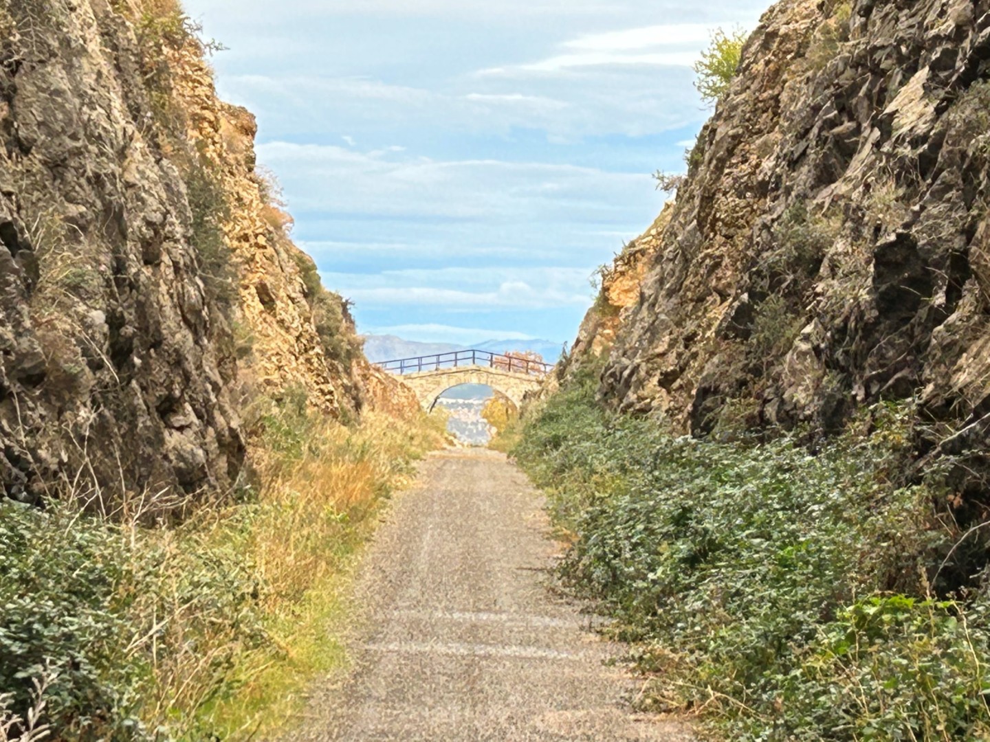
Continuing from Ibi, find Avendida Miguel Hernandez, leading to a nice bike path (Via Verde de Ibi) parallel to CV-806. (Cross over to CV-806 before the bike path ends in the crossing with motorway A-7, to avoid being trapped between road fences.) Then continue along CV-806 for a few kilometres, and cross over to the southern side of motorway A-7 when you come to a bridge. Further east along the road, the start of Via Verde de Alcoy is announced on a signpost. To find the path is not so easy – it starts further down the road from the signpost, first as a narrow path which soon becomes more stony.
The quality of the path improves strongly reaching the first tunnel, at Zona recreativa de Estepar.
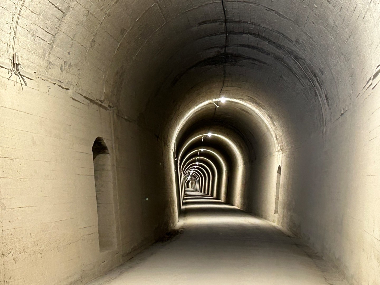
From there, the bike path and tunnels are very well kept, and the view from the bridges is fantastic going downhill towards and through Alcoy.
In Alcoy, Sercotel Ciutat D’Alcoi can be recommended for dinner and overnight stay.
Day 3. Alcoy to Gandia (57 km, map link).
In Alcoy, go back to the main cycle path (on green asphalt) which takes you north to Concentaina. It is a nice and easy ride downhill, but at places the bike path marking disappears, so using a mobile phone or a GPS device to check that you are on the right way may be an advantage.
At the end of the bike path in Concentaina, continue north along Avenida del Pais Valencia and Avinguda de Xativa. Then turn right along Carrer Nersac in a roundabout, to find a nice bike road (Prol. Estacion) going north from the next roundabout. Continue north through Muro de Alcoy, to find a small road (Via Pista) going steeply down to cross a small river, and up again to make a sharp bend towards east. Via Pista crosses over the motorway (A-7) and continues north and then east towards Gaianes, where Restaurant Tarraso is conveniently placed for a lunch stop.
From Gaianes, you may continue east along road CV-705 to Beniarres, where the old Via Verde is found just to the left of CV-705 going through a tunnel. Via Verde del Serpis continues along the left side of road CV-701, first as a quiet road shared with cars, and then as a nice bike path through an old station at l’Orxa.
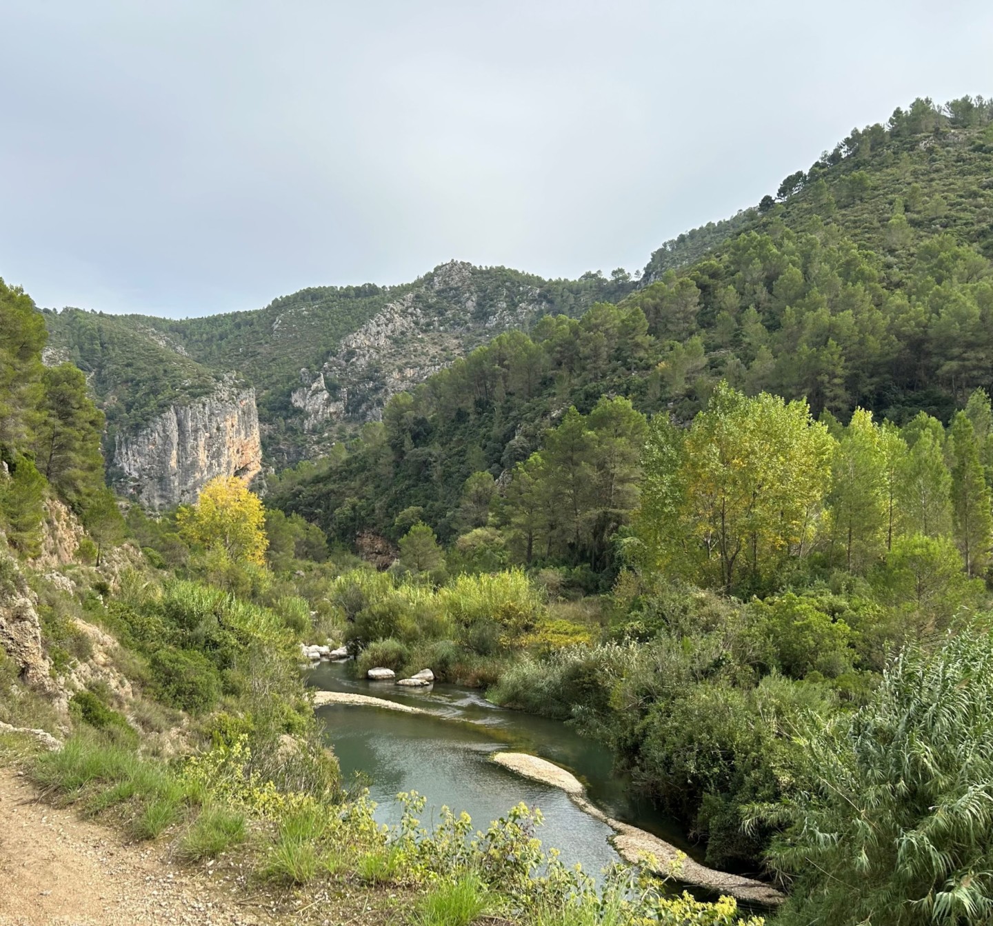
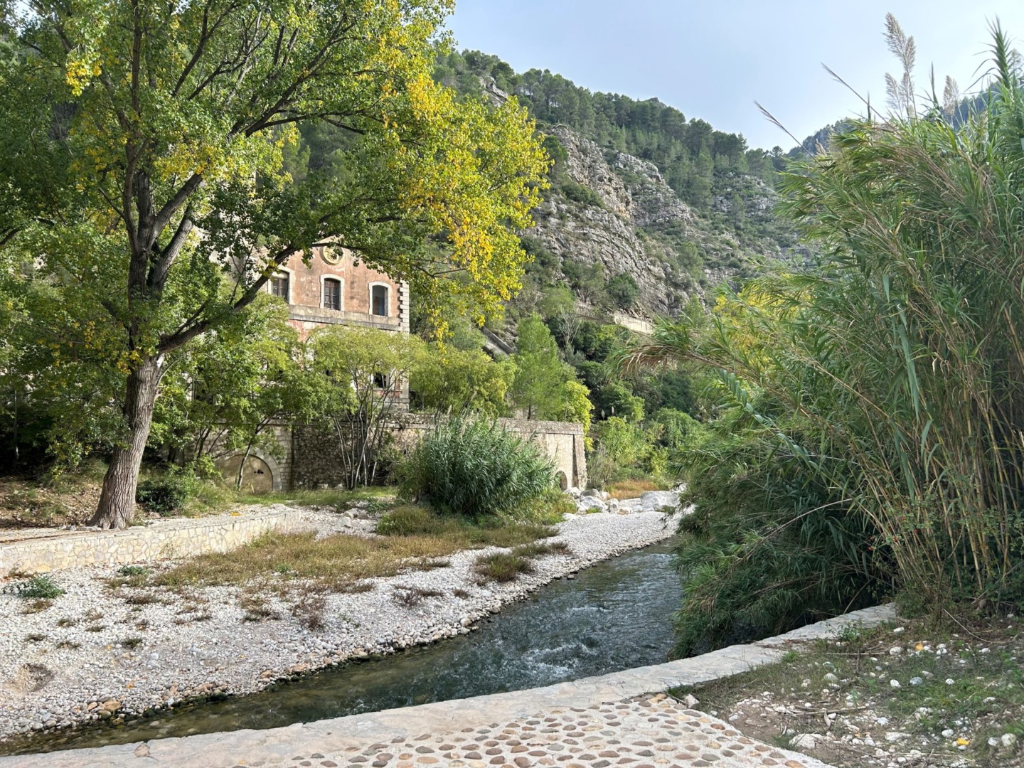
Continuing north-east, the path becomes more stony, with a marvellous view along river Serpis past old hydroelectric plants and fabrics.
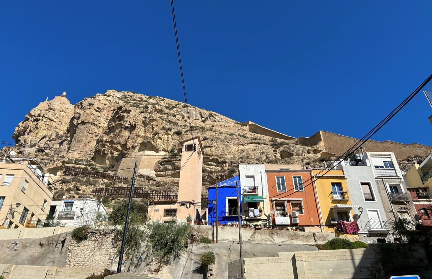
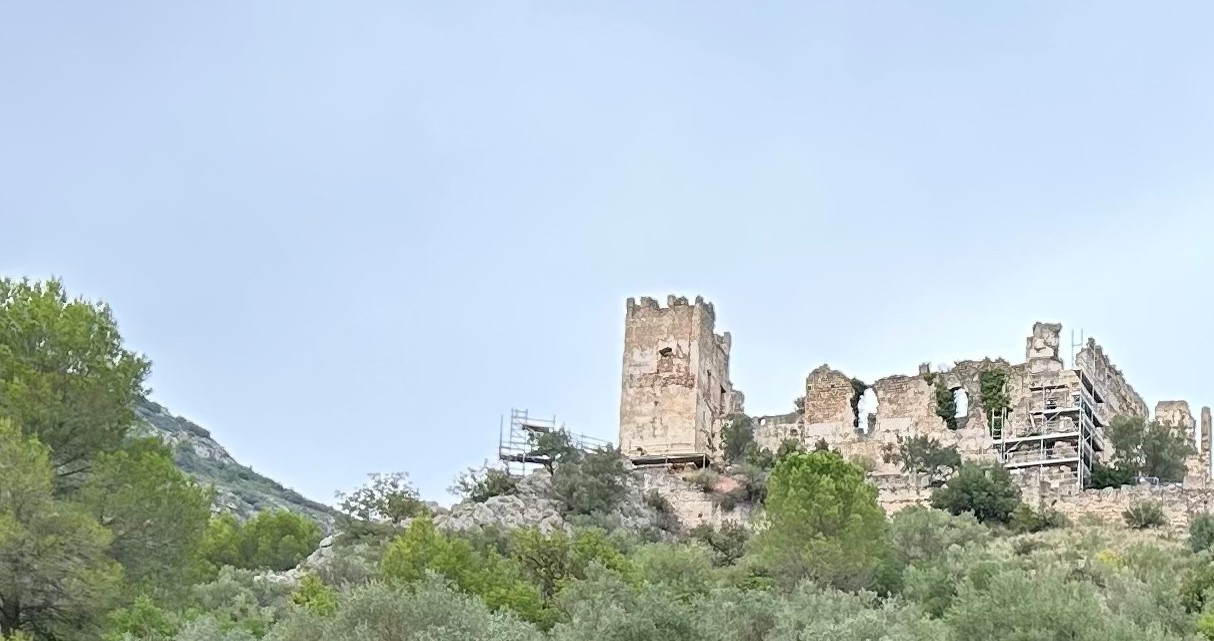
Due to a missing railway bridge, a detour must now be taken to reach Villalonga, which is a spectacular old town worth a visit. To stay overnight in Hotel Casa Babel may be an option (few rooms).
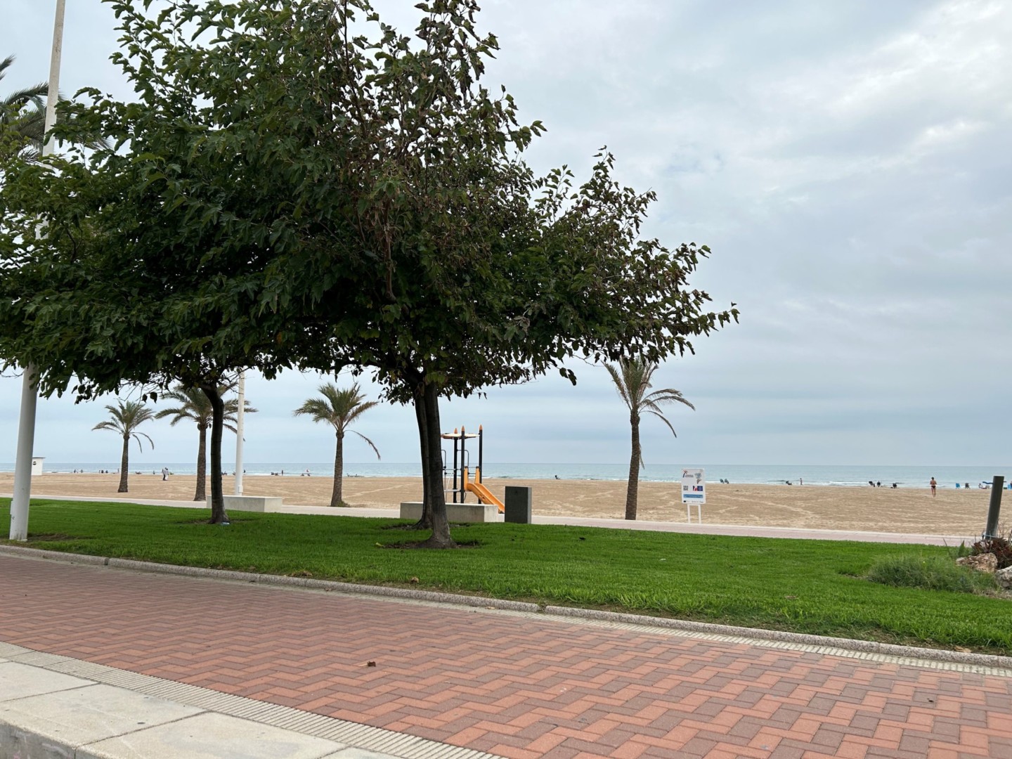
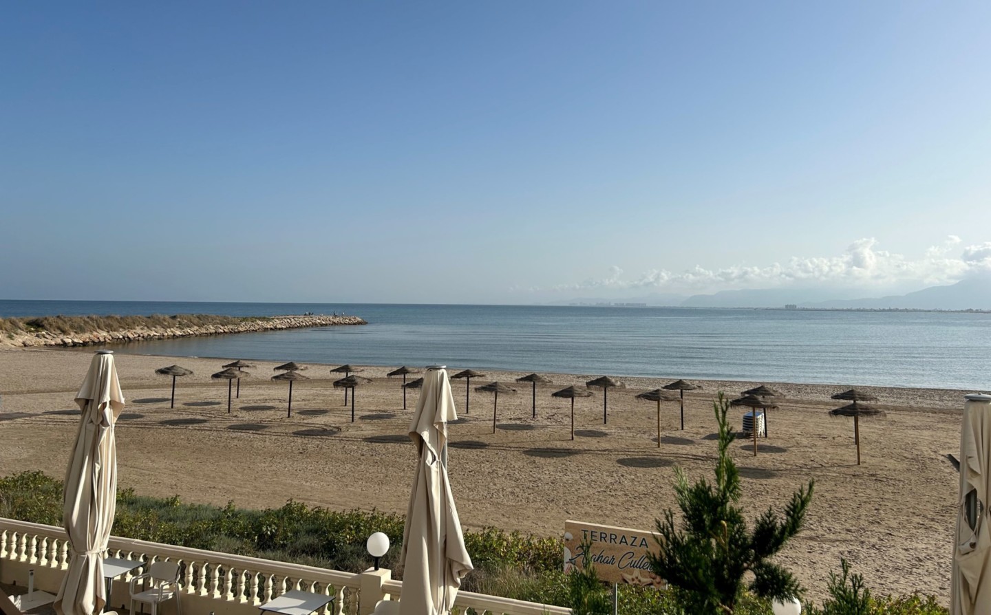
From Villalonga to Gandia, the road partly needs to be shared with cars. Many good hotels are found along the beach at Gandia. For example RH Bayren may be recommended for dinner and overnight stay.
Day 4. Gandia to Cullera (25 km, map link)
A short trip from Gandia to Cullera is suggested, after the long trip from Alcoy the day before. Bike north along the beach from the hotel, turn away from the sea and continue north along road CV-605. Then cross over the bridge to Xeraco, and find a quiet road going north to El Brosquil which is conveniently placed for lunch, for example at Restaurante El Dorado.
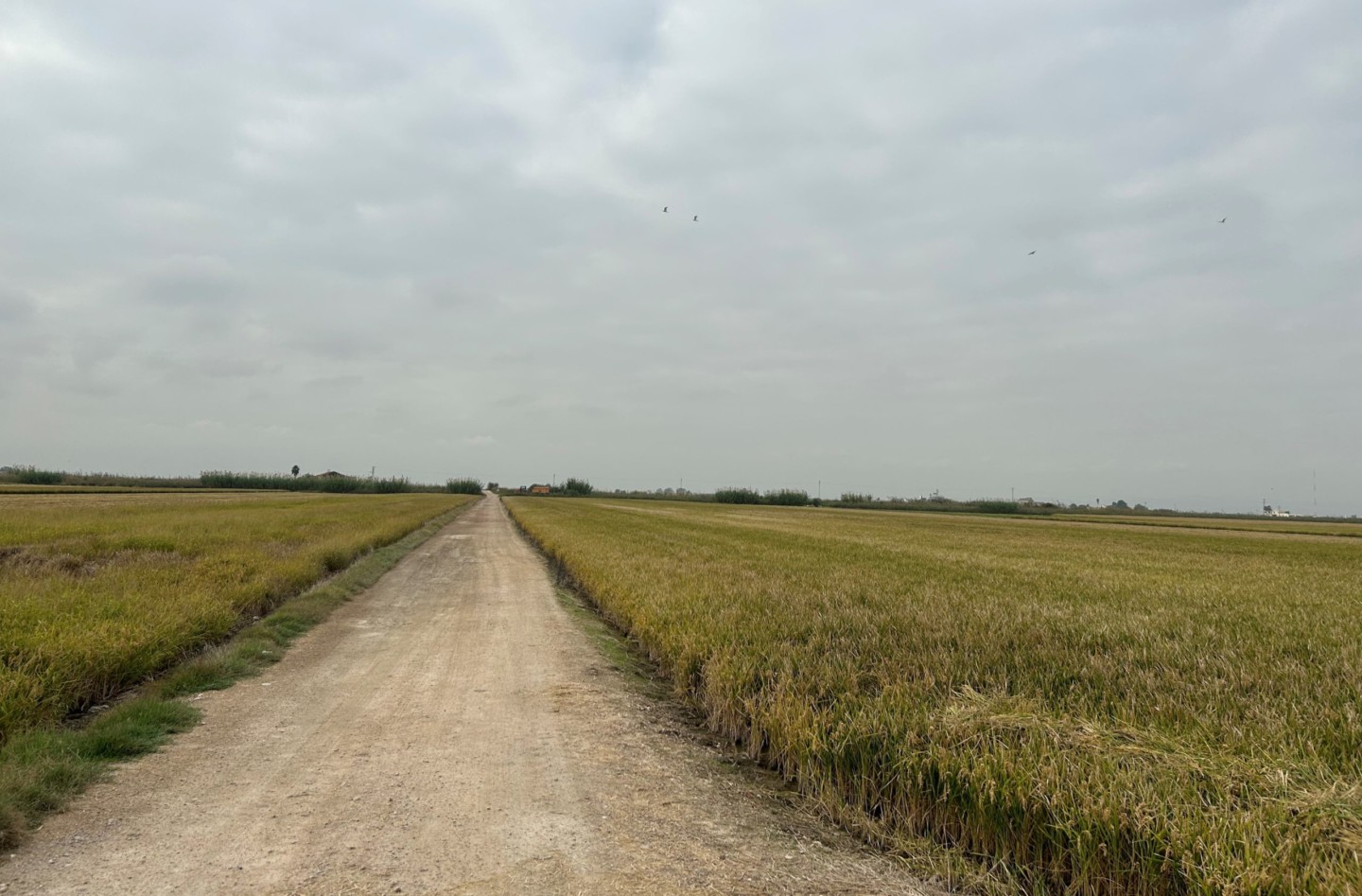
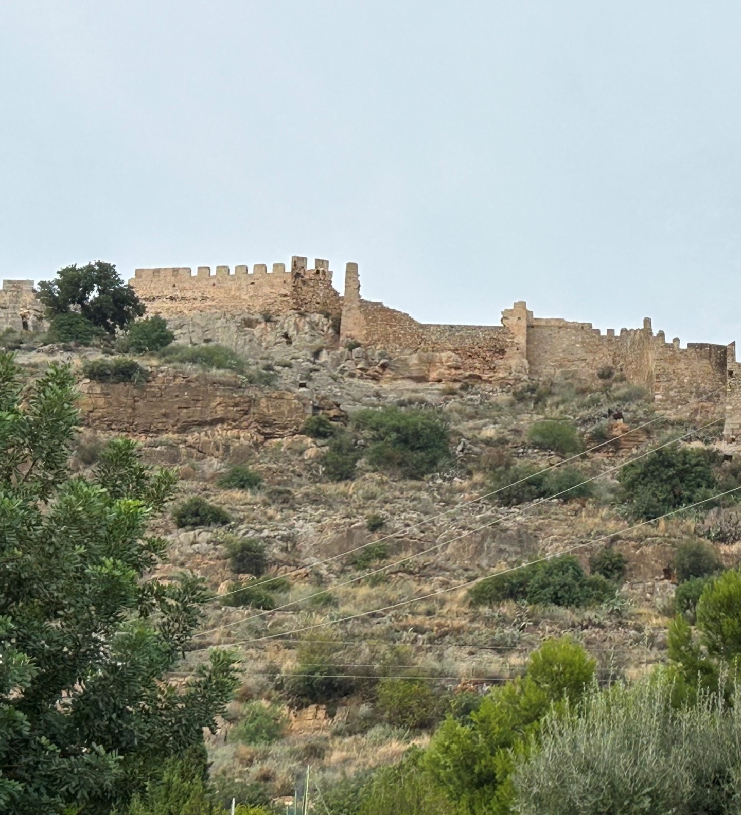
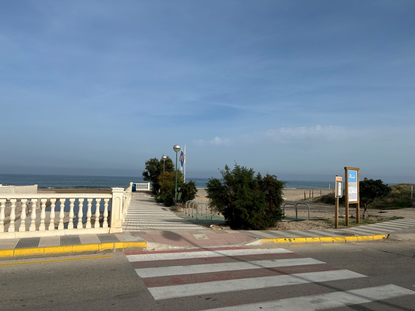
A nice and quiet route to Cullera can be found by biking west from El Brosquil, crossing CV-605 and the railway, and turning north along the rice fields. Bike north parallel to the railway, until you come close enough to Cullera to see the castle on the hilltop. Then continue north crossing the railway, and turn right over the river Jucar into Cullera. In Cullera, some time may be used to bike along the beautiful beach, and perhaps make a stop at a café.
Many hotels and restaurants are found in Cullera. BLAUCEL Café i Habitacions can be recommended for overnight stay.
Day 5. Cullera to Valencia (46 km, map link)
Bike north-east out of Cullera along the road CV-502 to a roundabout near the railway station, to find a quiet road (Carrer Magranerets) taking you north into the rice fields. Continue along quiet rural roads north-east of Sueca, and then north along the bike path to El Palmar, where many good lunch restaurants are found (for example Arroceria Maribel).
From El Palmar, the road must be shared with cars through National Park Albufera, until a very nice bike path is found on the right (east) side of the road CV-500 on the way towards Valencia. The bike path brings you to a bridge crossing river Turia, and takes you safely along the main roads into Valencia. There you can cross the railway over a bike bridge, and continue past the City of Arts and Sciences, where the architecture is really spectacular. From there the bike path continues into the beautiful Turia park.
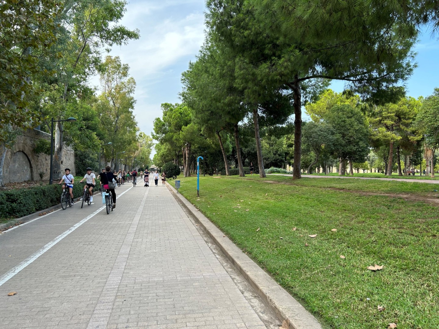
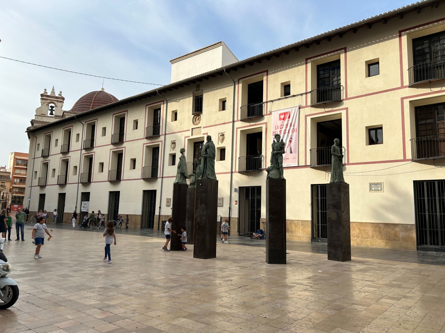
A lot of good hotels and restaurants are found in Valencia. To stay more than one day is a good idea. Valencia is a wonderful city, with its beautiful stone paving and historical buildings. With a lot of bike paths, parks and a long beach, the conditions for cyclists are very nice.
Day 6. Valencia to Via Verde de Ojos Negros (Teruel)
To go from Valencia to Via Verde de Ojos Negros, we suggest to take the train from Valencia to Santa Eulalia del Campo or Teruel, and bike back to Valencia along Via Verde de Ojos Negros.
- Then you can either bike along the Via Verde from the station in Santa Eulalia, and stay overnight near Teruel (map link).
- Or you can use the day to visit the charming old city of Teruel, with its bridges and wonderful views.
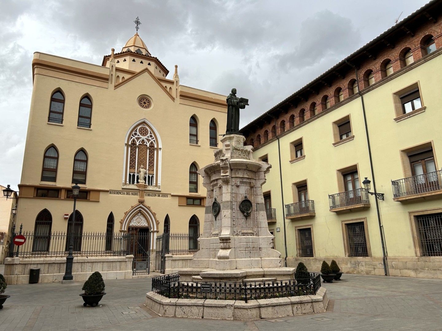
In Teruel, Hotel Palacio la Marquesa may be chosen for dinner and overnight stay.
Day 7. Teruel to Mora de Rubielos (48 km, map link)
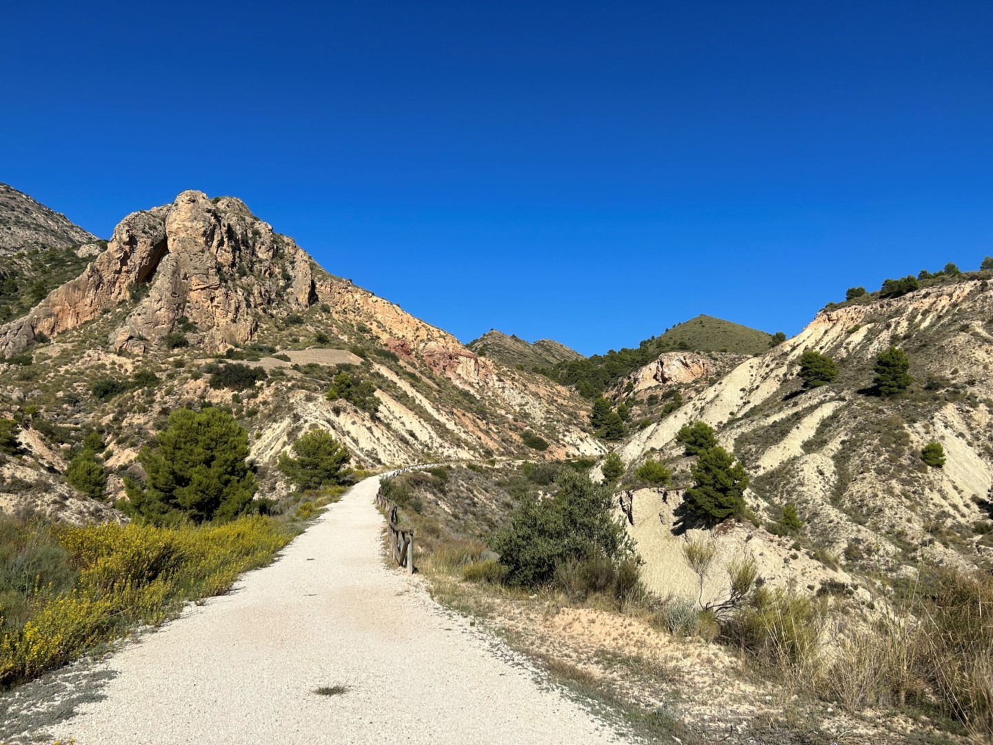
From Teruel, go north to find a footpath crossing under the highway, ending on a quiet road going east to Via Verde de Ojos Negros. If it has been raining, be aware of sticky red mud on the bike path. The Via Verde goes steadily uphill the first 15 km through a beautiful mountain landscape, to 1223 m over sea level at Puerta de Escandon.
Then the path goes steadily downhill to La Puebla de Valverde, where Restaurante La Fondica is suitably placed for a lunch stop. After Valverde, the bike path continues downhill to Mora de Rubielos, where La Casa de la Estacion may be chosen for dinner and overnight stay.
Day 8. Mora de Rubielos to Segorbe (64 km, map link)
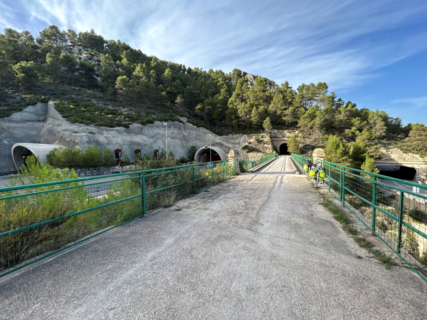
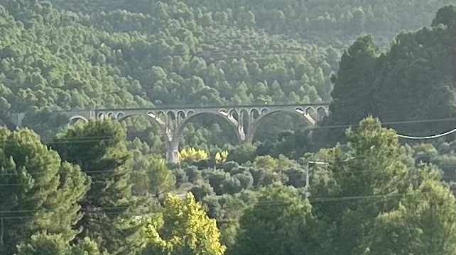
From Mora de Rubielos at Albentosa, Via Verde de Ojos Negros continues through a beautiful open landscape, with spectacular tunnels and bridges.
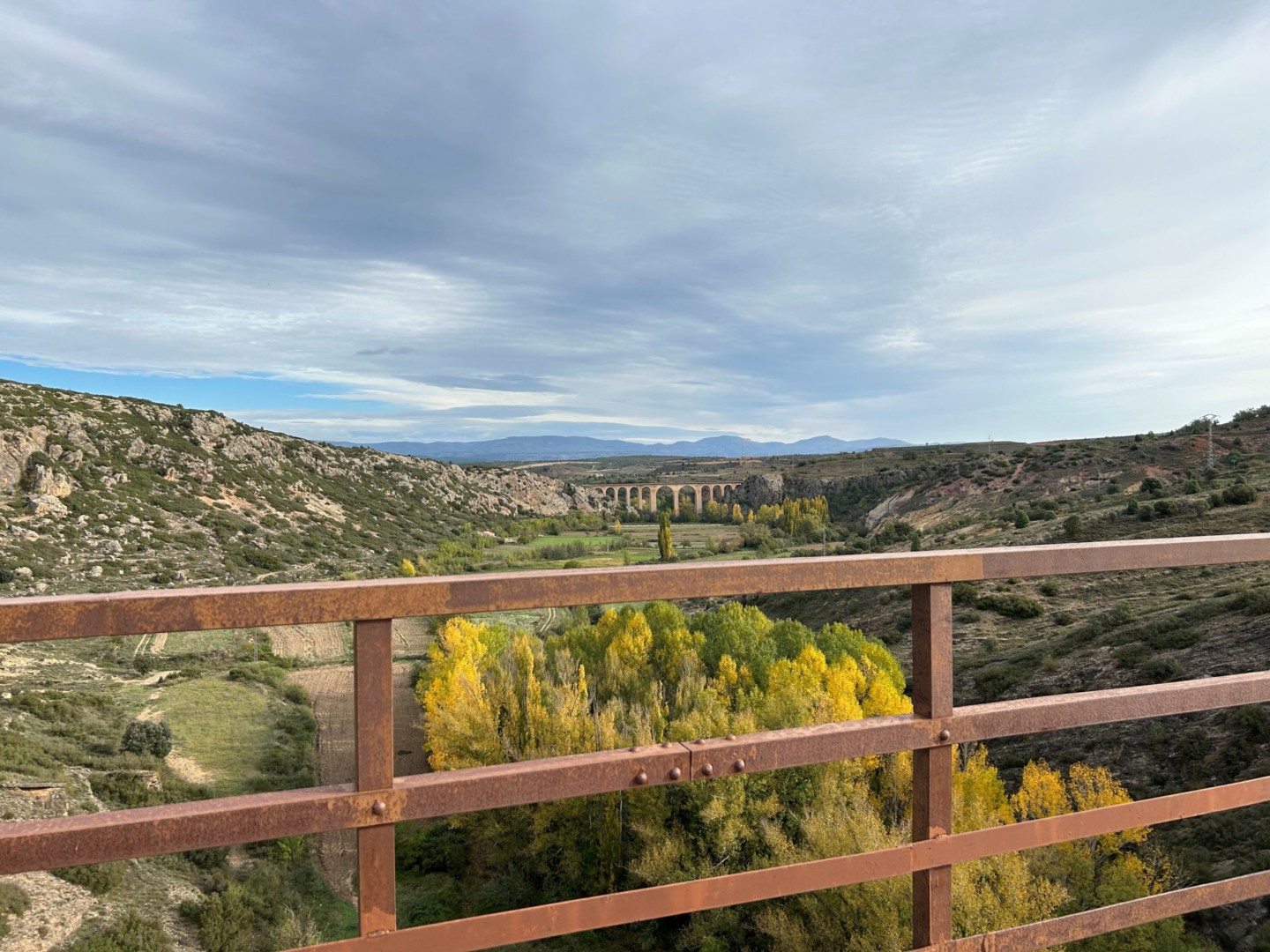
The path stays at an altitude of 900 to 1000 m above sea level all the way to Barracas, where a detour may be made for lunch, for example to Restaurante Asador Los Llanos. After Barracas, the Via Verde starts to go downhill, still through a rural landscape.
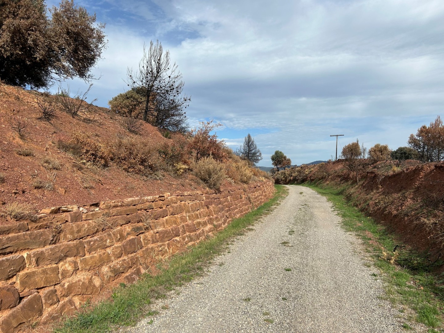
It is a nice bike path, going through a number of tunnels through Caudiel towards Xerica.
Bike through Xerica to find Via Verde Ojos Negros again on the south-eastern side of the town. A stop for a refreshment may be made, for example at Jerica Bar.
The bike path continues downwards to Segorbe, where Hotel SPA Martin el Humano may be chosen for dinner and overnight stay.
Day 9. Segorbe to Valencia (61 km, map link)
From Segorbe, a small road towards south is found, going back to Via Verde de Ojos Negros near Geldo. After Algimia d’Alfara, Via Verde de Ojos Negros continues south towards Sagunto, partly as a beautifully upgraded bike path, partly on minor roads. A detour for lunch may for example be made to Restaurante Els Pins in Estivella.
In Sagunto, cross over from Via Verde Ojos Negros to Via Verde Xurra, which is the recommended bike path south to Pucol and Valencia.
Day 10. Valencia-Cullera (49 km, map link)
The suggested route is the same as for Day 5 between Valencia and El Palmar. From El Palmar, an alternative route is shown, going along the coast (on roads CV-500, CV-502 and CV-503) through Faro de Cullera back to Cullera.
Day 11. Cullera to Gandia (27 km, map link)
The suggested route is the same as for Day 4. A lunch stop may be made in Xeraco, for example at Restaurant Casa Carol.
Day 12. Gandia to Denia (38 km, map link)
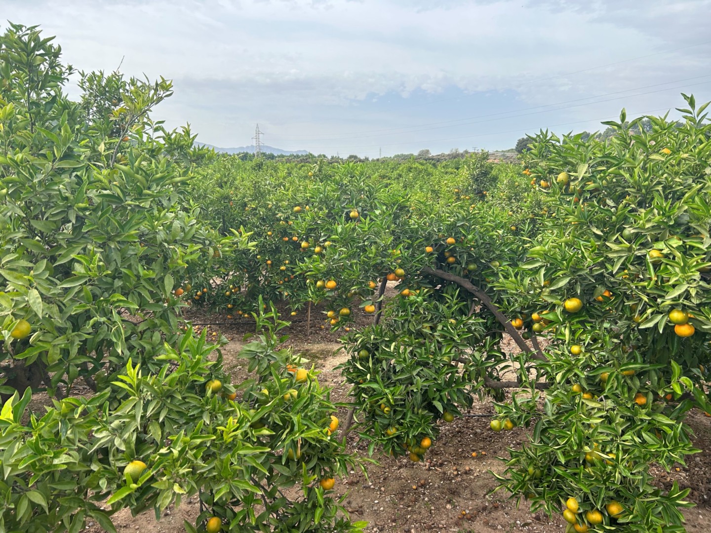
Going south from Gandia towards Oliva, Via Verde de la Safor is a well kept bike path through a beautiful fruit district. A lunch stop may be made in Oliva, for example at restaurant L’Olivera or La Goleta.
Biking southeast from Oliva, Cami de les Bruixes is a nice and quiet road, continuing as Cami de Vell de Denia. Half way to Denia, the road turns east towards the beach. From here, follow Carretera de les Marines along the beach towards Denia, where Hotel Los Angeles may be recommended for dinner and overnight stay. Alternativerly, many nice hotels and restaurants are found inside Denia.
Staying more than one day in Denia is a good idea. To bike or walk further south along the beach is very nice, and for example Restaurante Mena is conveniently placed for a lunch stop.
Day 13. Back to Alicante
The Tranvia can be taken from Denia back to Alicante (Line 9 from Denia to Benidorm, Line 1 from Benidorm to Alicante).
Biking along the coast would also be nice, but at some places busy roads would need to be shared with cars.